
Wanli Changcheng near Peking and the long Ming border wall
Published on 09/07/2026 at 06:52 | Editorial responsibility: Rafael Müller, Editor-in-Chief AD HOC NEWS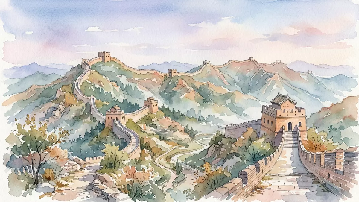
Wanli Changcheng, the “Ten-Thousand-Li Long Wall”, takes material form north of Peking in the Ming-era Great Wall, where stone and brick ramparts follow the ridges of the hills and turn a historic frontier into a walkable line of fortifications. Rooted in walls and earthworks that go back to the Qin dynasty in the third century BC, these stretches near Peking show how a defensive system became a continuous masonry presence in the landscape from the fourteenth century onwards.
The long wall and its meaning
The name Wanli Changcheng itself points to scale: “wanli” refers to ten-thousand li, a traditional Chinese unit, and Changcheng means long wall, together evoking a fortification system measured in thousands of kilometres rather than a single barrier. Reference works treat Wanli Changcheng as an alternative Chinese name for the Great Wall of China, including its best-preserved Ming stretches.Wanli Changcheng or Wan-li Ch’ang-ch’eng These fortifications were expanded and linked under Qin Shi Huang in the third century BC, when existing regional walls were connected into a broader defence line along the northern frontier.Qin Shi Huang, the first emperor of a unified China
Across northern China the Great Wall incorporates walls, trenches, fortresses and natural obstacles, forming a defensive system that spans thousands of kilometres from the eastern seaboard towards the inland passes of Gansu. Survey work by China’s cultural authorities has mapped thousands of wall sections and associated structures, underscoring that Wanli Changcheng is not a single unbroken line but a network.comprehensive mapping survey of the Great Wall Within this wider system, the Great Wall near Peking marks the point where a global name and a specific landscape meet.
Ming-era fortifications in the hills north of Peking
The stretches most closely associated with Wanli Changcheng near Peking belong to the Ming dynasty, which ruled China from 1368 to 1644 and rebuilt large parts of the frontier wall in stone and brick. In the hills north and north-west of the city, Ming builders laid out ramparts, watchtowers and passes across ridgelines, turning earlier lines of defence into fortified routes that could be patrolled and supplied.Ming-dynasty Great Wall near Peking These sections trace the crestlines above valleys and gorges, and in places descend to fortified gateways where roads and paths pass through.
Within the Beijing municipality, the wall runs through districts such as Yanqing to the north-west and others to the north and north-east, and carries well-known names like Badaling and Mutianyu for stretches that have been restored for visitors.Badaling near Peking At Badaling, a mountain pass in the Jundu range, the wall rises on stone foundations, with parapets and towers overlooking a corridor that has long been a route into and out of the capital region.Badaling Great Wall as a pass of Jundu Mountain The visible stretches here illustrate the transformation from compacted earth and timber into masonry walls that can still be traced along the skyline.
Walking Wanli Changcheng near Peking
On the ground, Wanli Changcheng near Peking consists of steep flights of stone steps, ramparts with parapets and towers at intervals, and passes where paths and roads thread through the hill country. Sections like Badaling and Mutianyu show the typical Ming profile: a wall wide enough for defenders to move along, with crenellations on the outer side and towers marking vantage points over the surrounding terrain.from Shanhai Pass near the Bohai Bay to Jiayu Pass The route along the ramparts rises and falls with the natural contours of the ridge, and in places the wall bends to follow the line of the hills before dropping to a pass.
A walk along these Ming stretches connects the physical structure with a wider geographic context. Beijing municipal information notes hundreds of kilometres of Great Wall within the region, crossing districts from east to west, with restored sections forming a small fraction of the total length.Great Wall in the Beijing region Looking along the stones north of Peking is therefore also looking along one chapter of a much longer border story that runs across northern China.
Visiting Wanli Changcheng: what travellers from Western Europe should know
- Wanli Changcheng near Peking is reached by road into the northern districts of the Beijing municipality, with restored Ming stretches such as Badaling lying in Yanqing District and Mutianyu in hill country to the north-east.
- On the Ming wall near Peking, steep stone steps climb and descend along the ramparts, and the approaches involve walking on uneven surfaces at altitude in exposed hill terrain.
- Wanli Changcheng in this region lies within mainland China, where the official language is Chinese and the currency is the renminbi.
- Sections of the Great Wall near Peking stand in mountainous countryside, and in the colder months these heights can experience winter weather including snow and ice on stone surfaces.
Searching for Wanli Changcheng on social platforms
These links open searches for Wanli Changcheng on each platform.
Frequently asked questions about Wanli Changcheng
Where is Wanli Changcheng near Peking located?
The stretches associated with Wanli Changcheng near Peking lie within the Beijing municipality in northern China, in hill districts north and north-west of the urban centre.
What can visitors expect on the Ming Great Wall near Peking?
Visitors encounter restored sections of Ming-era ramparts with stone steps, parapets and watchtowers, rising and falling along ridgelines above valleys and mountain passes.
What makes Wanli Changcheng near Peking distinctive?
Wanli Changcheng near Peking is distinctive for its Ming masonry walls and towers that turn a long frontier line into a continuous, walkable fortification in the hills north of the capital.


